|
|
 GLACIORISK EUROPEAN PROJECT
|
|
France (CEMAGREF,
ETNA,
ONF-RTM,
LGGE-CNRS), Italy (CNR-IRPI,
SMS/Nimbus), Norway (UOSLO,
NVE),
Iceland (UI
(IS)), Austria (DGGS),
Switzerland (VAW-ETHZ) |
|
WELCOME TO GRIDABASE, GLACIER RISKS DATA BASE :
MAIN MENU
Gridabase
was implemented by
SMS/Nimbus
|
|
|
|
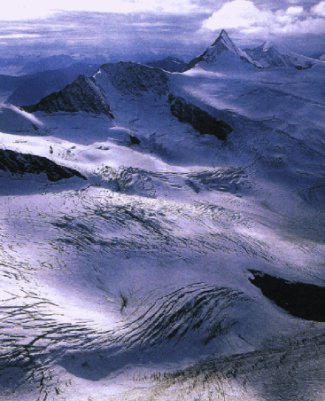
GLACIER "SCHALFFERNER"
Risk type: glacier flood (contain both lakes and water pocket)
Glacier list |
Statistics
|
| Type: |
Valley glacier |
| Country: |
Austria |
| Region: |
Tyrol |
| Massif/Ice Cap: |
Ötztaler mountains |
| Municipality: |
Ötz |
| Municipality code: |
|
| Location: |
The glacier is situated in the Upper Ötztal valley (Venter valley) north of Hintere Schwärze (3624 m). In 1850 it was connected with Mazellglacier. |
|
|
| Latitude (°, cent): |
46,8 N |
|
| Longitude (°, cent): |
10,92 E |
| Surface (km2): |
8,6 |
| Lenght (km): |
5,7 |
| Width (km): |
3,9 |
| Min. altitude (m): |
2480 |
| Max. altitude (m): |
3500 |
| Orientation (°) |
340 |
| Slope (°) |
11,5 |
|
|
EVENT: Date
24/8/1932
- Date quality: |
 |
| Type: |
Glacier flood (contain both lakes and water pocket) |
 |
|
| Description |
The tongue of the glacier was connected with the tongue of Marzellglacier up to 1920. In 1924 they already had a distance of about 100 meters. Between the two tongues a sander area started to develope and got bigger until 1932. Belowe the debris and gravel of the sander a lot of dead ice had been conservated covered by a lake of melting water. In 1933 the water broke through the lake ground an ran out through a 10 meter deep canyon and an icetunnel. |
|
Effects: |
unknown |
| Deaths(#) |
0 |
|
|
|
Injuried (#) |
0 |
| Note |
|
|
DAMAGES |
|
| Type: |
|
Description: |
|
|
BIBLIOGRAPHY |
|
|
SRBIK, R.V, 1935 - Der Stausee des Schalfferners (Ötztaler Alpen). Zschr. f. Gletscherkunde, XXII. Bd. (1935), S. 214-217. |
|
SRBIK, R.V, 1935 - Das Stauseebecken des Schalfferners (Ötztaler Alpen) 1934 Zschr. f. Gletscherkunde, XXIII. Bd. (1935) |
|
SRBIK, R.V, 1949 - Besondere Verfallserscheinungen an einigen Ötztaler Gletschern 1932-1945 Veröffentlichungen des Museum Ferdinandeum in Innsbruck. Bd. 26, Jg.1946, S.83-95. |
|
|
