|
|
 GLACIORISK EUROPEAN PROJECT
|
|
France (CEMAGREF,
ETNA,
ONF-RTM,
LGGE-CNRS), Italy (CNR-IRPI,
SMS/Nimbus), Norway (UOSLO,
NVE),
Iceland (UI
(IS)), Austria (DGGS),
Switzerland (VAW-ETHZ) |
|
WELCOME TO GRIDABASE, GLACIER RISKS DATA BASE :
MAIN MENU
Gridabase
was implemented by
SMS/Nimbus
|
|
|
|
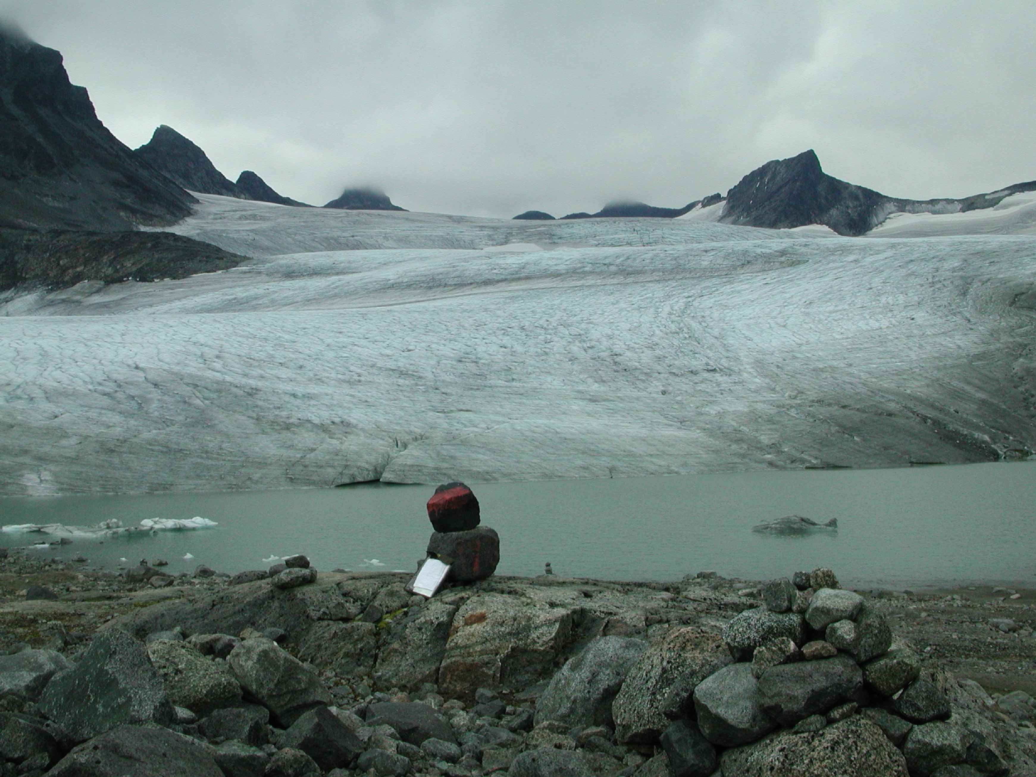
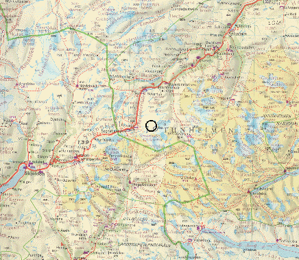
GLACIER "LEIRBREEN"
Risk type: miscellaneous
Glacier list |
Statistics
|
| Type: |
Valley glacier |
| Country: |
Norway |
| Region: |
Oppland |
| Massif/Ice Cap: |
Leirbreen |
| Municipality: |
Lom |
| Municipality code: |
|
| Location: |
In the western part of Jotunheimen, 2-3 km east of Storbreen |
|
|
| Latitude (°, cent): |
61.563 N |
|
| Longitude (°, cent): |
8.095 E |
| Surface (km2): |
4.87 |
| Lenght (km): |
3.8 |
| Width (km): |
|
| Min. altitude (m): |
1530 |
| Max. altitude (m): |
2070 |
| Orientation (°) |
315 |
| Slope (°) |
|
|
|
EVENT: Date
16/8/1998
- Date quality:days |
 |
| Type: |
Accident mountaineering |
|
|
| Description |
sliding on rock, fell 15 m down on snow. |
|
Effects: |
|
| Deaths(#) |
|
|
|
|
Injuried (#) |
1 |
| Note |
male 53, in a group of 15. |
|
DAMAGES |
|
|
|
BIBLIOGRAPHY |
|
|
|